

Summit Date
September 7, 2002, around 1:30 pm
Party
Ryan Cragun, Debi Cragun
Trip Report
This was our second highpoint of the day. We left Cincinnati at 3:45 am and visited Spruce Knob, WV just earlier. We planned on visiting Pennsylvania’s Mount Davis after this one. The trailhead (which is the beginning of an old logging road) is marked, but it helps to have pretty good directions. What actually helped me see it was an ‘Adopt-A-Highway’ sign on the side of the road that said something like Friends of the Maryland Highpoint – Backbone Mountain. I’m assuming there is a sign to the north on 219 that says the same thing, but the trailhead is right where the sign on the south end of the cleanup stretch stands. On the back of the sign (north side) someone has spray painted ‘MD’ and ‘HP’. I snapped some pictures of that. There is also a sign in the trees, but it is pretty small and difficult to make out. So, be sure to have good directions to follow and if you know where to look, you should be able to find it.
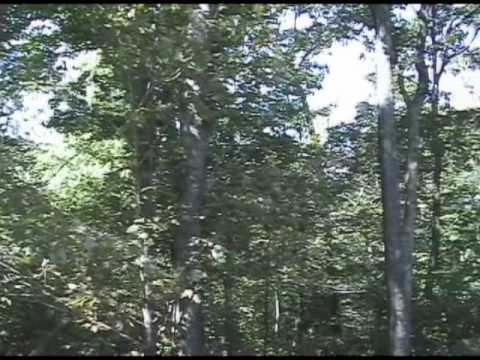
Our directions told us to park our car on the berm of the road. We decided to pull about 40 yards up the logging road so our car would be somewhat hidden from view and not right on the side of the road. It was out of the way of any potential traffic on the logging road, but safe from the traffic on 219. Our directions also told us to plan on about 1 to 1 1/2 hours to climb the mountain. The directions were very helpful (see ‘Highpoint Adventures’ by the Wingers). The trail is marked from the bottom with the letters ‘HP’ spray painted on trees every few hundred yards. The spray paint is a little old and difficult to make out at times because it is fading, but you just have to keep your eyes open. The hike is pretty much a constant incline going up at a decent angle. It levels out near the top, but from where it levels out it is only about 200 yards to the summit. It took us about 20 minutes to get to the level portion and another couple to make it to the highpoint marker. There is a view to the northeast of the summit looking toward Maryland. The rest of the summit is surrounded by trees.
We did pass one person on our way up. He was coming down. He was the only other person we saw on the mountain. There are some picnic tables at the top and a mailbox with a notebook/logbook in it. We signed the log and snapped a bunch of pictures. Though the hike isn’t long, it is pretty much a continuous incline, so we stopped for about 10 minutes on the top and enjoyed the view and the sense of accomplishment – another one down and another state conquered and enjoyed.
The descent took about 15 minutes. As I have in other trip reports where the terrain is rocky, I would recommend here that you wear good, sturdy boots. The trail isn’t that bad, but it is pretty rocky at points. Also, be prepared for a good 20 to 30 minutes of hard hiking. The going isn’t difficult, but it is a constant incline from the trailhead to the top. The view at the top isn’t amazing, but it is nice. You can see for quite far but you can also see two smoke belching towers in the distance. Not that smoke belching towers are a bad thing, but it isn’t like West Virginia where the only signs of humanity you can see are the roads you came in on. Anyway, from there we headed on to Pennsylvania’s Mount Davis. Total trip time was about 50 minutes.
(Side note: A little north of Backbone Mountain’s trailhead on 219 there is what is claimed to be the smallest church in the 48 states. We snapped some pictures of it. Kind of interesting to see if you have the time. It’s a Catholic church and there is a post office next to it as well, also supposed to be the smallest mailing office in the U.S.)
Panorama
Directions

![]()
