

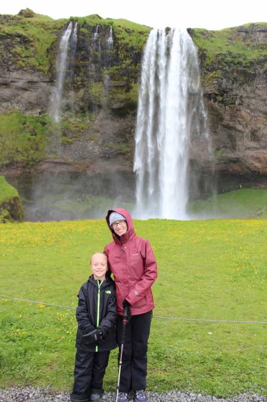
Our plan for seeing as much of Iceland as we could in a week was to drive all the way around the country, hitting highlights as we went. We hit out fairly early on our first full day in the country and made it to our first stop, Seljalandsfoss in the morning.
“Foss” is a waterfall or “fall,” and we stopped at a lot of amazing waterfalls, though we saw thousands of other waterfalls as we drove around the island (which wasn’t something we expected but it does make the drive even more scenic). The first one is a popular stop as it is a very tall waterfall right next to the ring road (Highway 1 or Þjóðvegur); it also very visible from the ring road. Here’s a shot of Seljalandsfoss:
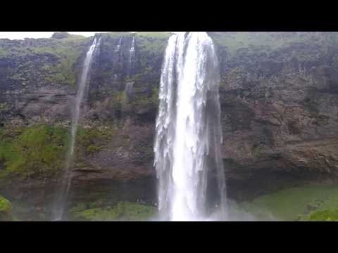
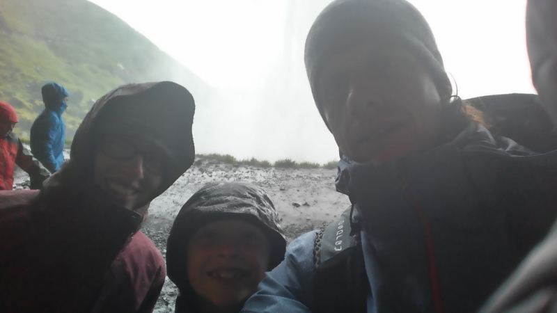
This was also the one waterfall we visited you can hike behind. If you plan to do so, be prepared to get very wet as the mist from the waterfall is pervasive. Luckily, we came prepared with waterproof winter weather gear:

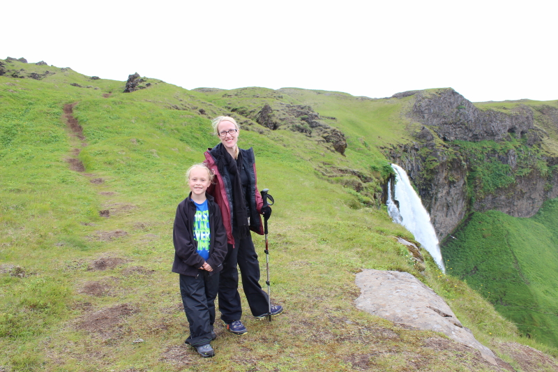
Turns out, you can hike up above the falls if you’re willing to hike up some steep terrain at the bottom (you have to hike to the left of the falls first before you see the trail). Since I’m always up for a hike, we decided to go for it. It was quite pleasant once we made it to the top of the falls:

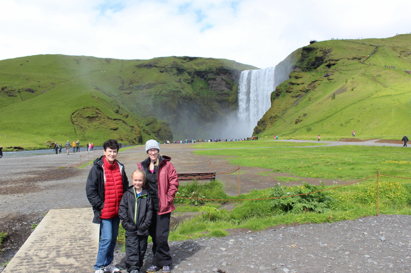
Our next stop was another waterfall that is also close to the ring road and, as a result, quite full of tourists: Skogafoss. Skogafoss is a wider waterfall with more volume than Seljalandsfoss.
You can’t walk behind the water at Skogafoss, but there is a nice trail up to the top of the waterfall that continues for a bit above the waterfall to some nice, smaller waterfalls and small canyons.
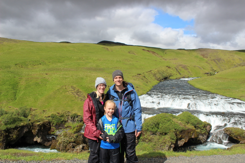
Lots of people view the waterfall from the base; probably 2/3 hike to the top, but very few hike further up the trail. So, if you’re looking for a spot with fewer people, hiking up the trail is a good option.

Here’s a photosphere from the top of the falls:

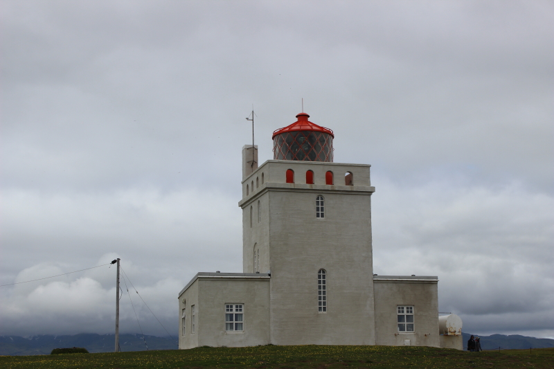
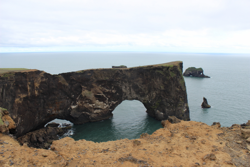
After Skogafoss, we drove further along the coast to a famous double-arch rock outcropping called Dyrholaey. The road that takes you to the trailhead so you can hike out toward the arch is gravel, rutted, and a bit harrowing, but we made it (despite Debi freaking out a bit) in our Mazda wagon. From the parking area, you can walk out toward the arch and around a lighthouse.
And here is the double arch:
We saw a cave just off the road toward Dyrholaey and saw some people hiking to it, so we did the same after checking out Dyrholaey. It was a small cave, but a fun little hike.
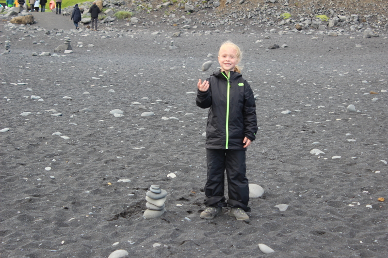
We then headed to our last stop of the day, Reynisfjara. Reynisfjara is known as the most dangerous beach in Iceland because the waves can be erratic, with massive waves coming up the beach very suddenly and sweeping people out to sea. The point being, you have to be aware of your situation at this beach.
Reynisfjara is known for its black sand and stunning rock formations.
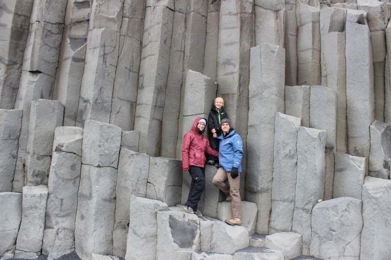
Conveniently, Reynisfjara is right next to Dyrholaey, so you can see one from the other, but you have to drive around a bay to get between them. The rock formations at Reynisfjara are really varied. The picture above really doesn’t do them justice. Perhaps this photosphere will help illustrate the variety:
Reynisfjara was our last stop of the day. Amazingly, we had been able to book hotel rooms in Vik, which is just over a large hill from Reynisfjara. We ended up getting an entire cabin to ourselves, which was delightful:
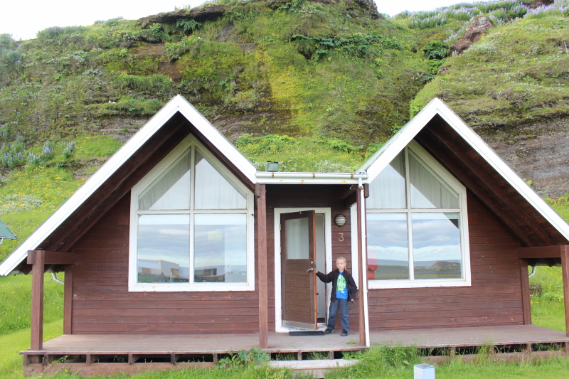
The cabin looked right over the ocean as well, making it a real treat.
![]()
